Stand up and be counted
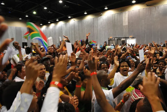
SUM OF THE PARTS: October 10 is the day our Census will take place, and President Jacob Zuma has urged us to make it possible to gather this vital information accurately and easily. SUM OF THE PARTS: October 10 is the day our Census will take place, and President Jacob Zuma has urged us to make it possible to gather this vital information accurately and easily.
Censuses answer a number of questions and reflect patterns that are informative to policy making, interesting to academics and researchers and revealing to rank and file.
The census asks several questions, 75 in all. Fifty of these relate to individual questions while 25 are household questions.
Those that cover individuals include age, sex, race, level of education, employment, place of residence, number of children born to women of child-bearing age and those who died.
Those that relate to service delivery cover questions such as access to electricity, water and sanitation, for example.
So a census provides a mine of information from which policy makers, academia and ordinary citizens can dig and reveal reality, unfold relationships, raise questions about or confirm causation and consequence in ways that are unambiguous.
Census data is essential for decision making. By following one variable or cross-tabulating two or more variables, revelations can be harvested.
Stats SA provides Census 1996, Census 2001 and Community Survey 2007 on the web, and accompanying this large-scale time series data is SuperCross software which allows anyone to draw tables and charts of their choice, as well as mapping at the levels of municipalities, suburbs, villages and farms.
This level of detailed geographic analysis is not possible for the Community Survey 2007 because it was a sample.
Mapping census results is a very powerful way of displaying underlying relationships in a spatial fashion and thus enables decision makers to plot scenarios and discuss choices and consequences about communities.
Included on the web are earlier censuses of 1980, 1985 and 1991 vintage.
Attached to these, NeStar software eases the tabulation task. The earlier censuses are, however, reported on using the magisterial districts and the geography is not coterminous to the municipal boundaries and makes analysis difficult.
How our population in terms of the four race groups is distributed in our cities could be an interesting policy, academic or rank and file question.
This question was asked in Census 2001 and it reveals interesting patterns both as a proportion of a particular race group in a particular city or geographic space, and in which city the majority of the population is distributed.
Essentially one could ask the question: how are the race groups proportionately distributed across South Africa’s city space? The other question could be: what is the distribution of one race group across the city space?
Yet another question would be: what is the distribution of population by level of education in the city space?
The beauty of the census is that it can answer these questions at small-area level.
So you could ask questions about access to electricity, water and sanitation at the level of a village, township or suburb.
The census answers these and many other questions. Indeed the census answers the questions posed by President Jacob Zuma when he said he needed to know where South Africans live, work and play, and all of us as a nation need to have this information in order to make a contribution to our fledgling democracy.
Let us explore these questions and reveal the beauty of statistics and the data that a census provides to us.
Census 2001 tells us that the composition of African/black is 70 percent of the population. The coloured and white populations share approximately 9 percent each and the Indian population is 2 percent of the total population. Census 2001 also tells us that KwaZulu-Natal is the biggest province in terms of population, followed by Gauteng and then the Eastern Cape.
However, after the Community Survey of 2007, and based on the tempo of population migration, Gauteng took first place in being the most populous province.
Let us discuss the racial composition of our cities. In this regard we have taken the cities of Cape Town, Joburg and Durban.
In the top graph, racial distribution of the population in cities shows that 40 percent of the population of Joburg is African/black, 19 percent is coloured, 5 percent is Indian, while 35 percent is white and 1 percent is other racial groups.
In Durban the distribution is 37 percent African/black, 3 percent coloured, 22 percent Indian and 35 percent white. On the other hand, the population of blacks in Cape Town is 7 percent, and that of coloureds is 28 percent, Indians 2 percent and whites 58 percent.
While these figures show variation in racial distribution of the residents of the respective cities of Cape Town, Durban and Joburg, the top graph shows the distribution of each of the race groups across the three selected cities.
In this regard we can observe that the distribution of the Indian population across the three cities reveals that an insignificant number of Indians are in Cape Town. In fact, 60 percent of the Indian population is in Durban and the other 40 percent in Joburg.
In terms of the three city spaces, the majority of the coloured population are in Joburg, where just about 60 percent reside, followed by Durban where 36 percent reside and 4 percent in Cape Town.
Only 2 percent of the black African population reside in Cape Town, compared to 35 percent who reside in Durban.
Sixty-three percent of blacks/Africans reside in Joburg.
The middle graph asks the question: in which cities does the majority of each race group reside?
To answer the question of how the levels of education are spread out among the three cities, Census 2001 shows that Cape Town has a higher proportion of people with tertiary education compared to Joburg and Durban. In fact 20 percent of the city dwellers of Cape Town have tertiary education while Joburg and Durban have about 15 percent each.
The last graph, distribution of city dwellers by level of education, asks: what has happened to service delivery?
To answer this question we drill well below the city space, and focus on a portion of a township.
This approach of discussing census data shows its power. We have taken the Census of 1996 and that of 2001.
Furthermore we have taken aerial photographs of Crossroads in the Western Cape that correspond as closely as is possible to the two censuses.
We can observe changes in the physical infrastructure and corresponding changes in the experiences and material lives of households on the ground.
The aerial photos show how Crossroads looked in 1998, but associated with the image is the service delivery record as presented for the same area by Census 1996.
In this regard 52 percent of the residents of Crossroads used paraffin for lighting, 68 percent used buckets for sanitation and 39 percent of the residents had electricity.
What we need to know is what the situation is now, given vast infrastructure improvements. What is it that the residents are experiencing in terms of education, service delivery and employment?
Census 2011 has answers for you but only if you participate. It is the right thing to do, so stand up and be counted.
l Pali Lehohla is South Africa’s statistician general and head of Stats SA