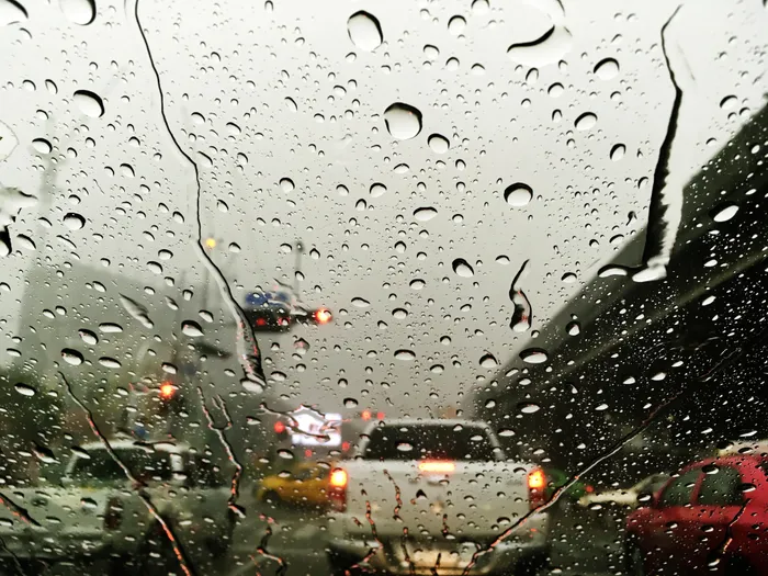
Why this summer feels cooler and wetter than usual, according to experts.
Image: Freepik
According to meteorologists Dr. Lynette van Schalkwyk of the University of Cape Town's Department of Oceanography and Lelo Kleinbooi of the South African Weather Service (Saws), South Africa's summer rainfall patterns continue to exhibit significant variability, with some years hot and dry and others wet and cooler.
Van Schalkwyk described what scientists refer to as interannual climate variability as "South Africa's summer rainfall seasons can be extremely variable and can go from one rather hot and dry summer to the next being mostly wet and cooler."
She noted that these fluctuations are influenced by the El Niño Southern Oscillation (ENSO), a natural cycle of warming and cooling in the equatorial central Pacific Ocean.
“As the name suggests, there's a natural oscillation of sea surface temperatures which occurs in the equatorial central Pacific region. When these sea surface temperatures are higher than normal, we call it El Nino and when these temperatures are cooler than normal, La Nina,” she said.
Van Schalkwyk emphasised that the ENSO cycle does not always produce predictable weather outcomes for South Africa.
“Several of South Africa's wet summers have been associated with La Nina events in the past, but it is important to realise that not all La Ninas cause wet summers and not all El Ninos result in dry, hot summers.”
Adding perspective from Saws, Kleinbooi said the current conditions are being closely monitored.
“We are observing above-normal rainfall in several parts of the summer rainfall region, particularly in the north-eastern provinces, and this pattern may continue into late summer,” Kleinbooi said.
She explained that while La Nina is often linked with wetter summers, the forecast is nuanced: “It is important to note that not every La Nina phase results in extreme wet conditions, and regional variations can be significant.”
Kleinbooi also highlighted the importance of public preparedness. “Communities should remain vigilant, especially in flood-prone areas, and monitor official weather warnings regularly to mitigate risks from localised flooding and thunderstorms.”
Currently, temperatures in the equatorial central Pacific are in a neutral state, with the possibility of dropping into a La Nina phase.
Seasonal forecasts from Saws and the University of Pretoria indicate that above-average rainfall is likely to continue into late summer, from January to March, accompanied by below-normal daytime maximum temperatures.
Dr van Schalkwyk cautioned that the current cooler, wetter conditions are part of a dynamic and evolving climate system.
“So, the current lower temperatures and higher rainfall is not a permanent feature of the climate over the summer rainfall region, but is part of a very dynamic, ever-changing larger climate system which also involves sea surface temperatures in the remote equatorial central Pacific Ocean,” she said.
IOL News