Thunderstorms to Hit Mpumalanga and KwaZulu-Natal as Extreme Heat Scorches Western and Northern Cape
Image: File image
South Africa braces for sharply contrasting weather conditions on Thursday, with severe thunderstorms expected over parts of the eastern interior while the Western and Northern Cape endure very hot to extremely hot temperatures.
A Yellow Level 1 warning has been issued for severe thunderstorms over eastern Mpumalanga and the adjacent escarpment areas.
The South African Weather Service cautions that strong, gusty winds may cause localised damage to infrastructure and informal settlements. Low-lying and flood-prone areas could also experience brief but disruptive flooding.
Rainfall probabilities reach around 60% in central areas of the eastern interior, tapering to about 30% on the periphery, including regions near Polokwane, Thohoyandou, Mbombela, Newcastle, and the KwaZulu-Natal coast.
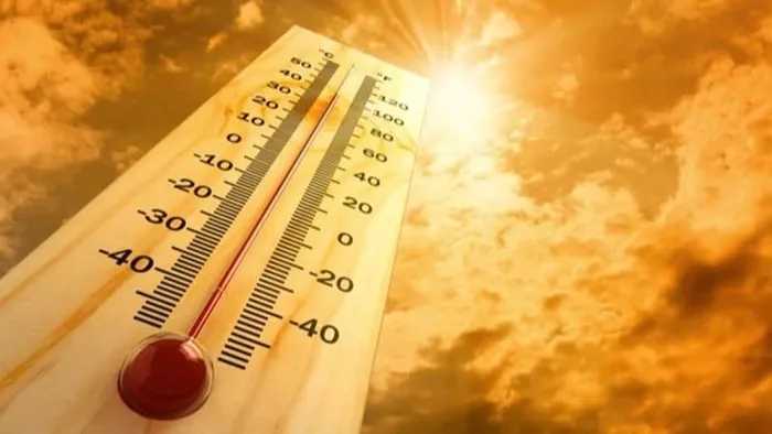
While the eastern provinces contend with stormy skies, the west faces a different challenge. A heat advisory is in place from Thursday into Friday for the West Coast District in the Western Cape and Kamiesberg in the Northern Cape.
Temperatures are expected to soar into the mid to high 30s and even touch 40 degrees over municipalities such as Bergrivier.
These conditions will create uncomfortable and potentially hazardous heat levels, with the risk of heat-related illnesses rising through the afternoon.
Most central and western parts of the country, including the Northern Cape interior, Free State, Western Cape’s interior towns and much of the Eastern Cape away from the coast, are expected to remain dry.
Residents in storm-affected areas are encouraged to stay alert for sudden weather changes, while those in the heat-stricken west should prioritise hydration and limit prolonged exposure to the sun as temperatures climb.
IOL News